QGIS Training
My QGIS training courses are designed specifically to support planning consultancies, developers, and renewable energy companies by providing practical, straightforward GIS skills tailored to your daily needs.
Why Choose QGIS?
Geographic Information Systems (GIS) are essential in planning and development, helping to analyse and visualise data effectively. QGIS offers professional-level GIS capabilities without costly licenses, making it ideal for consultancies and smaller, innovative companies.
TAILORED TRAINING FOR YOUR BUSINESS
I offer customised QGIS courses, designed around real-world planning and development tasks, helping your team:
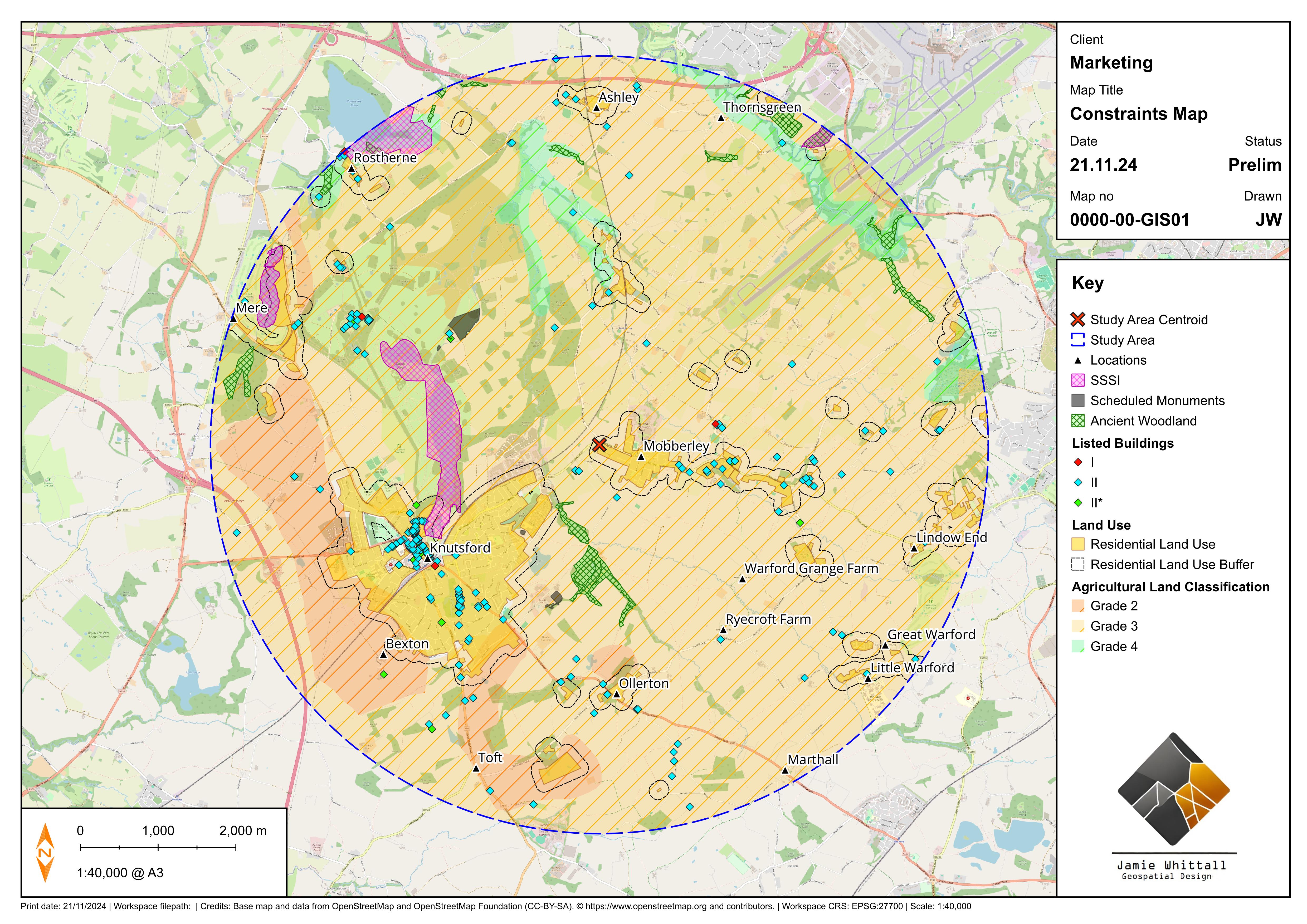
- Quickly produce professional-quality maps suitable for reports and presentations.
- Perform essential spatial analyses relevant to your projects.
- Minimise time spent on repetitive technical tasks through automation and efficient workflows.
CLIENT FEEDBACK – AXIS
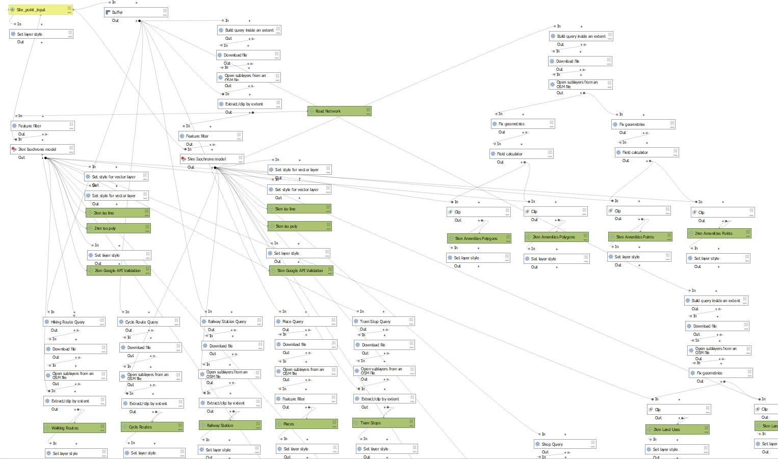
I wrapped up a custom project for the development planning consultancy Axis, where I developed a bespoke QGIS tool tailored to their specific needs.
“We appointed Jamie to produce a bespoke add-on component to our GIS software and he delivered an output exactly as we required and within the required timeframe. Jamie communicated with us throughout the project and suggested amendments which were welcomed and resulted in an improved output.”
This was a rewarding project, building a tool from the ground up using Python coding plus the QGIS model builder, then fine-tuning it with client feedback.
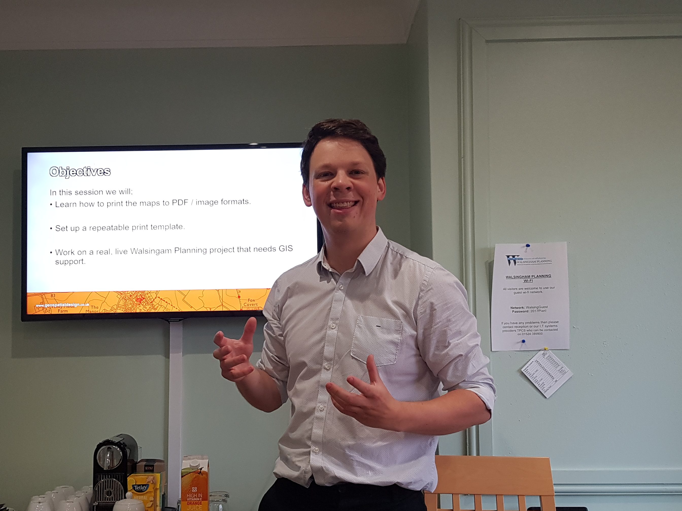
Practical, Real-World Training
My courses are highly practical, using real project examples directly relevant to your business. Your staff will learn through hands-on exercises and step-by-step guidance that ensures skills can be immediately applied to your ongoing projects.
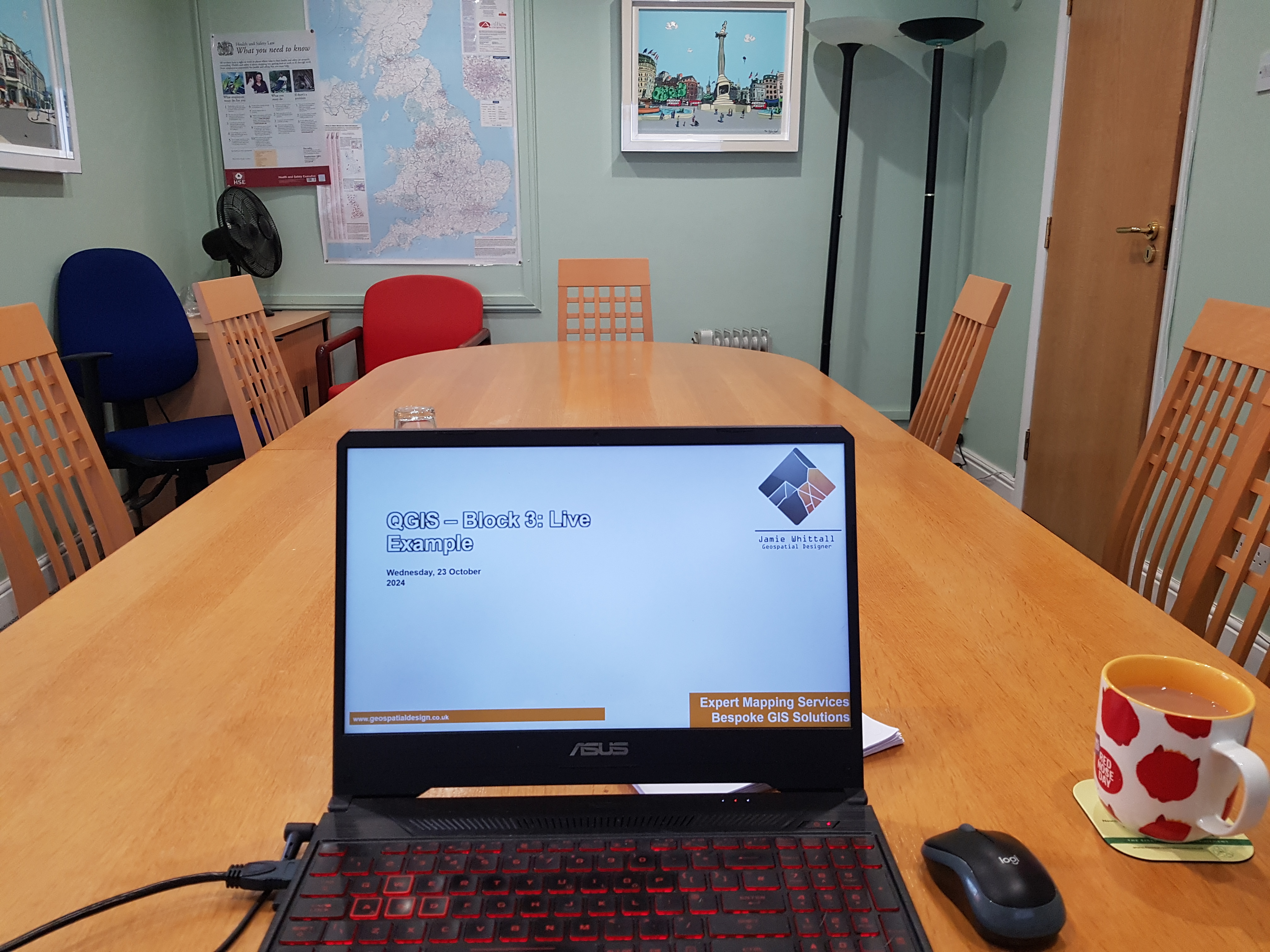
Flexible Training Options
Training can be delivered in-person at your office or at convenient venues across the UK, or online, ensuring minimal disruption to your business operations.
Supporting Your Business Goals
My training and direct GIS support will:
- Reduce your team’s technical workload, freeing up your senior staff to focus on strategic tasks.
- Provide reliable, repeatable methods to handle spatial data efficiently.
- Enhance your project outcomes with clear, accurate, and impactful GIS outputs.
Contact me today to learn more about how I can tailor our GIS solutions to meet your unique needs.
